Top Qs
Timeline
Chat
Perspective
Mastuj Tehsil
Administrative sub-division in Pakistan From Wikipedia, the free encyclopedia
Remove ads
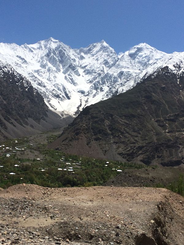
Mastuj (Urdu: مستوج) is a tehsil and a valley in Upper Chitral District in Khyber Pakhtunkhwa province of Pakistan. Mastuj is the principal settlement. It is located at 36°17'0N 72°31'0E with an altitude of 2359 metres (7742 feet). There are ruins of old fort built originally in 18th century and reconstructed several times.[2][3]
Remove ads
Geography
Adjacent administrative units
- Wakhan District, Badakhshan Province, Afghanistan (north)
- Ishkoman Tehsil, Ghizer District, Gilgit-Baltistan (northeast)
- Yasin Tehsil, Ghizer District, Gilgit-Baltistan (east)
- Gupis Tehsil, Ghizer District, Gilgit-Baltistan (southeast)
- Behrain Tehsil, Swat District (southeast)
- Sharingal Tehsil, Upper Dir District (southwest)
- Chitral Tehsil (southwest)
Villages
The main villages include Buni, Charun-Oweer,[4] Mastuj, Khouzh, Kargin, Marthing, Chuinj, Parkusap, Reshun, Parwak, Kuragh, Aveer, Chapali and Brep.
Tehsil Mastuj starts right after the end of Baranis, Reshun, Kuragh, Buni, Aveer, Parwak, Mastuj, Chinar, Chuinj, Chapali, Brep, Bang and Meragram are the main areas of Tehsil Mastuj.[5]
See also
![]() Media related to Mastuj tehsil at Wikimedia Commons
Media related to Mastuj tehsil at Wikimedia Commons
References
Further reading
Wikiwand - on
Seamless Wikipedia browsing. On steroids.
Remove ads


