Emanuel Bowen
From Wikipedia, the free encyclopedia
Remove ads
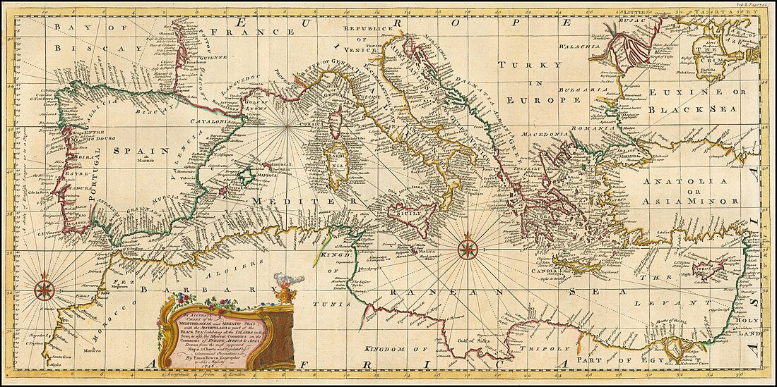
Emanuel Bowen (oko 1720. − 1767), engleski geograf, kartograf, graver i izdavač koji je djelovao u Londonu sredinom 18. vijeka.


(reizdanje iz 1780-ih)
Većinu kartografskih radova izradio je u suradnji sa sinom Thomasom odnosno T. Kitchinom i T. Jefferysom koji su u mladosti bili njegovi šegrti. Zbog izuzetne kvalitete njegovih karata i atlasa služio je kao kraljevski geograf britanskom Đuri II i francuskom Luju XV. Najvažniji njegov rad svakako jest „Veliki engleski atlas」 (engleski: ) sa 68 karata, objavljen 1767. godine u suradnji s Kitchinom.
Remove ads
Opus
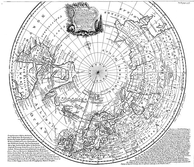
- A new and accurate map of the North Pole (1746)
- A complete atlas of geography (1747)
- A new and accurate map of Africa (1747)
- A new and accurate map of New Jersey, Pensilvania, New York and New England (1747)
- A new and accurate map of Virginia & Maryland (1747)
- A new general map of America (1747)
- A new map of Georgia, with part of Carolina, Florida, and Louisiana (1747)
- An accurate map of the island of Barbadoes (1747)
- An accurate map of the West Indies (1747)
- Principal towns and harbours belonging to the English, French, and Spaniards, in America and West Indies (1747)
- A complete atlas, or distinct view of the known world exhibited (1752)
- Britannia depicta (1759)
- The large English atlas (s T. Kitchinom, 1767)
Remove ads
Povezano
Vanjske veze
- () The Christina Gallery: Emanuel Bowen Arhivirano 2012-05-20 na Wayback Machine-u
- Ostali projekti
| U Wikimedijinoj ostavi ima još materijala o temi: Emanuel Bowen |
Wikiwand - on
Seamless Wikipedia browsing. On steroids.
Remove ads
