Geodesy
science of the geometric shape, orientation in space, and gravitational field of Earth From Wikipedia, the free encyclopedia
Remove ads
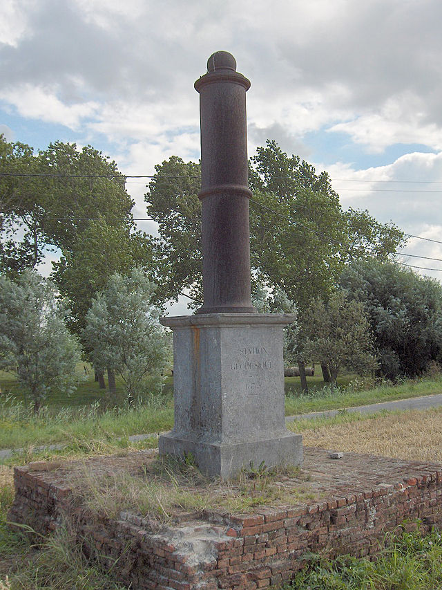
Geodesy, sometimes called geodetics, is a scientific branch of geography which accurately measures the surface of the Earth.


Friedrich Robert Helmert (1843–1917), who started the discipline, talked about measuring and mapping the surface of the earth. This includes its geometric description (the geoid) and the measurement and description of its gravitational field.
Some people involved in the discipline look at geodynamics, the crusts, the tides, or the movement of the geographical poles.
Remove ads
Related pages
Wikiwand - on
Seamless Wikipedia browsing. On steroids.
Remove ads

