Top Qs
Timeline
Chat
Perspective
Saskylakh
Selo in Sakha Republic, Russia From Wikipedia, the free encyclopedia
Remove ads
Saskylakh (Russian: Саскылах; Yakut: Сааскылаах, Saaskılaax) is a rural locality (a selo) and the administrative center of Anabarsky District in the Sakha Republic, Russia.[1] Its population as of the 2010 Census was 2,317,[2] up from 1,985 recorded during the 2002 Census[6] and further up from 1,856 recorded during the 1989 Census.[7]
Remove ads
Geography
Summarize
Perspective
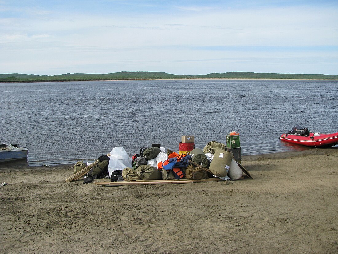
Saskylakh is located on the right bank of the Anabar River, downstream from the confluence with the Udya. It is one of the main ports in the river.[8]
Climate
Despite lying well inside the Arctic Circle, Saskylakh has a subarctic climate (Köppen climate classification Dfc)[9] with very short, mild summers and severely cold winters. Precipitation is moderate; it falls mostly as rain in summer and mainly as snow throughout the rest of the year. Summers get above 10 °C (50 °F) due to warm spells of southerly winds, which has rendered an all-time record of 35.6 °C (96.1 °F) whereas the Arctic Ocean to its north remains extremely chilly even when ice-free in summer. As a result, summers are highly variable. In winter, temperatures are more stable, with cold extremes not deviating much from the average lows. Brief spells of maritime air can bring temperatures a lot less cold, but there are still eight reliable months below freezing. There is also a strong seasonal lag due to the late thawing of the ice pack to the north. As a result, May is still a winter month even with midnight sun.
Remove ads
History
It was founded in 1930 as a part of Soviet efforts to settle the nomadic Yakuts, Evenks, and Dolgans who lived in the area.[citation needed]
Demographics
Transportation
There are no year-round roads leading to Saskylakh, although there is a winter road which leads to Olenyok and then further 600 kilometers (370 mi) south to Udachny. In the opposite direction, the road also continues downstream along the Anabar to Yuryung-Khaya.
Saskylakh Airport is a few kilometers south.
References
External links
Wikiwand - on
Seamless Wikipedia browsing. On steroids.
Remove ads


