Top Qs
Timeline
Chat
Perspective
Territorial evolution of the United States
From Wikipedia, the free encyclopedia
Remove ads
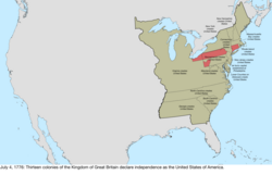
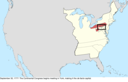
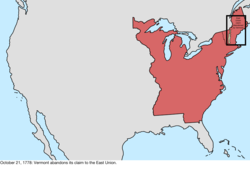
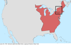
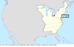
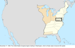
The United States of America was formed after thirteen British colonies in North America declared independence from the British Empire on July 4, 1776. In the Lee Resolution, passed by the Second Continental Congress two days prior, the colonies resolved that they were free and independent states. The union was formalized in the Articles of Confederation, which came into force on March 1, 1781, after being ratified by all 13 states. Their independence was recognized by Great Britain in the Treaty of Paris of 1783, which concluded the American Revolutionary War. This effectively doubled the size of the colonies, now able to stretch west past the Proclamation Line to the Mississippi River. This land was organized into territories and then states, though there remained some conflict with the sea-to-sea grants claimed by some of the original colonies. In time, these grants were ceded to the federal government.


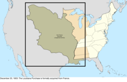
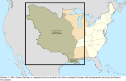
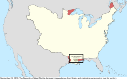
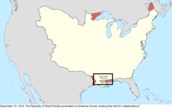
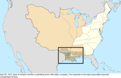
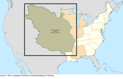
The first great expansion of the country came with the Louisiana Purchase of 1803, which doubled the country's territory, although the southeastern border with Spanish Florida was the subject of much dispute until it and Spanish claims to the Oregon Country were ceded to the US in 1821. The Oregon Country gave the United States access to the Pacific Ocean, though it was shared for a time with the United Kingdom.[2] The annexation of the Republic of Texas in 1845 led directly to the Mexican–American War, after which the victorious United States obtained the northern half of Mexico's territory, including what was quickly made the state of California.[3]
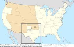
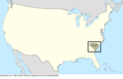
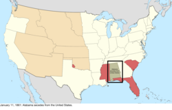
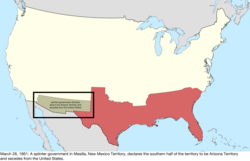
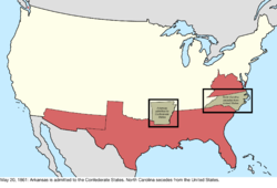
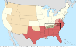
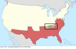
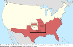
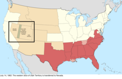
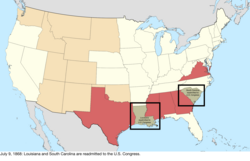
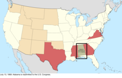
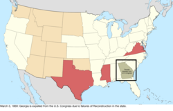
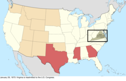
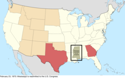
As the development of the country moved west, however, the question of slavery became more important, with vigorous debate over whether the new territories would allow slavery and events such as the Missouri Compromise and Bleeding Kansas. This came to a head in 1860 and 1861, when the governments of the southern states proclaimed their secession from the country and formed the Confederate States of America. The American Civil War led to the defeat of the Confederacy in 1865 and the eventual readmission of the states to the United States Congress. The cultural endeavor and pursuit of manifest destiny provided a strong impetus for westward expansion in the 19th century.
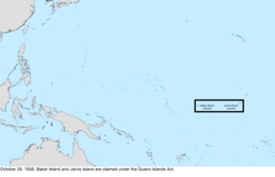
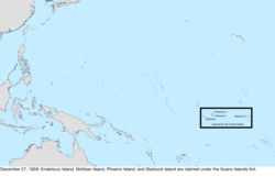
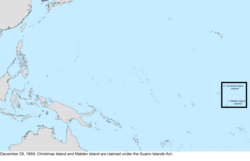
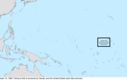
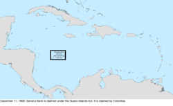
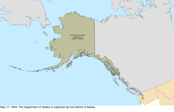
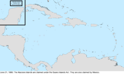
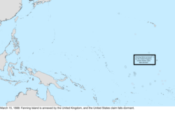
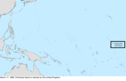
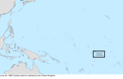
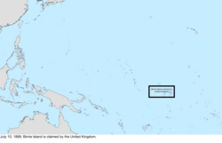
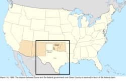
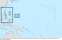
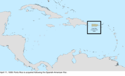
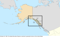
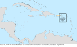
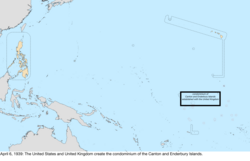
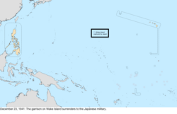
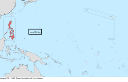
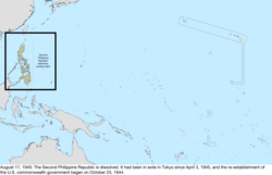
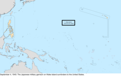
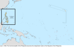
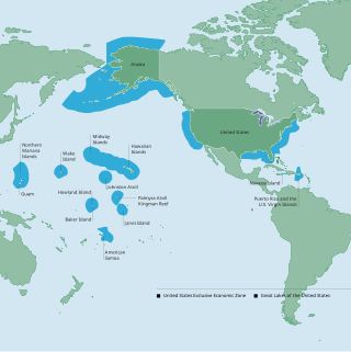
The United States began expanding beyond North America in 1856 with the passage of the Guano Islands Act, causing many small and uninhabited, but economically important, islands in the Caribbean Sea and the Pacific Ocean to be claimed.[4] Most of these claims were eventually abandoned, largely because of competing claims from other countries. The Pacific expansion culminated in the annexation of Hawaii in 1898, after the overthrow of its government five years previously. Alaska, the last major acquisition in North America, was purchased from Russia in 1867. Support for the independence of Cuba from the Spanish Empire, and the sinking of the USS Maine, led to the Spanish–American War in 1898, in which the United States gained Puerto Rico, Guam, and the Philippines, and occupied Cuba for several years. American Samoa was acquired by the United States in 1900 after the end of the Second Samoan Civil War.[5] The United States purchased the U.S. Virgin Islands from Denmark in 1917.[6] Puerto Rico and Guam remain territories, and the Philippines became independent in 1946, after being a major theater of World War II.
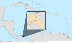
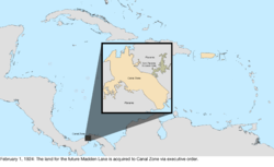
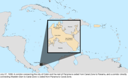
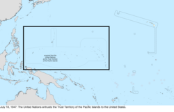
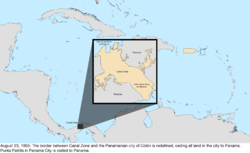
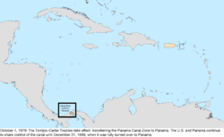
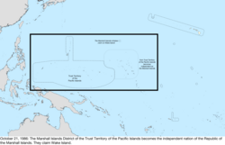
Following the war, many islands were entrusted to the U.S. by the United Nations,[7] and while the Northern Mariana Islands became a U.S. territory, the Marshall Islands, Federated States of Micronesia, and Palau emerged from the trust territory as independent nations. The last major international change was the acquisition in 1904, and return to Panama in 1979, of the Panama Canal Zone, an unincorporated US territory which controlled the Panama Canal. The final cession of formal control over the region was made to Panama in 1999.
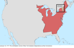
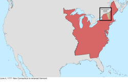
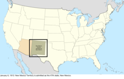
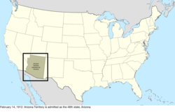
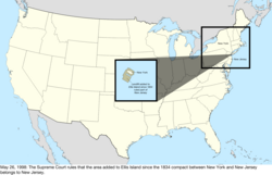
States have generally retained their initial borders once established. Only three states (Kentucky, Maine, and West Virginia) have been created directly from area belonging to another state (although at the time of admission, Vermont agreed to a monetary payment for New York to relinquish its claim); all of the other states were created from federal territories or from acquisitions. Four states (Louisiana, Missouri, Nevada, and Pennsylvania) have expanded substantially by acquiring additional federal territory after their initial admission to the Union. In 1912, Arizona was the last state established in the contiguous United States, commonly called the "lower 48". In 1959, Hawaii was the 50th and most recent state admitted.
Remove ads
Legend for maps
- Key to map colors
- United States states (domestic maps), undisputed area of United States (dispute maps)
- United States territories (domestic maps)
- disputed area of United States
- area changed by event
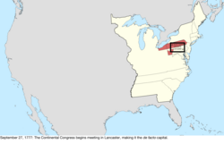
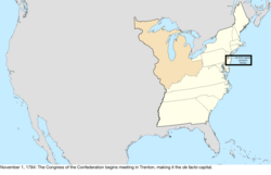
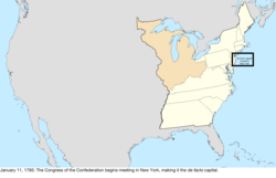
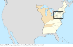
1776–1784 (American Revolution)
Summarize
Perspective
Remove ads
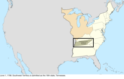
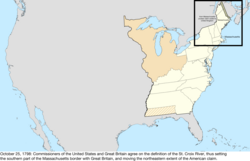
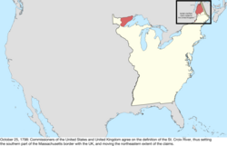
1784–1803 (Organization of territory)
Remove ads
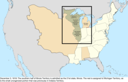
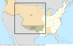
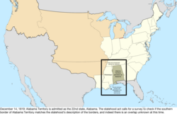
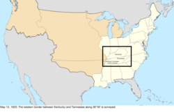
1803–1818 (Purchase of Louisiana)
Summarize
Perspective
Remove ads
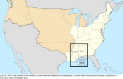
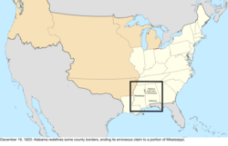
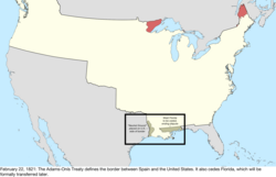
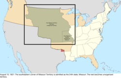
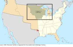
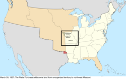
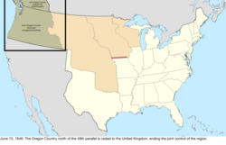
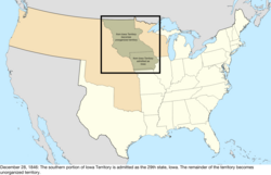
1819–1845 (Northwest expansion)
Summarize
Perspective
Remove ads
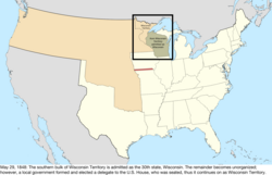
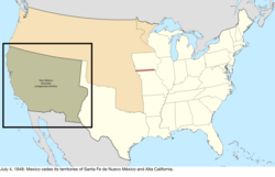
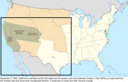
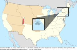
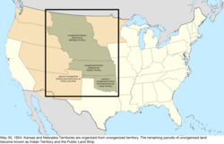
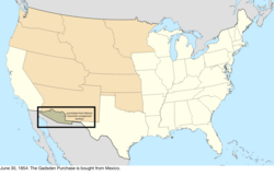
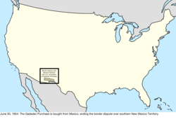
1845–1860 (Southwest expansion)
Summarize
Perspective
Remove ads
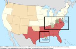
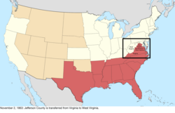
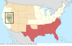
1860–1865 (Civil War)
Summarize
Perspective
Remove ads
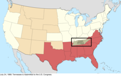
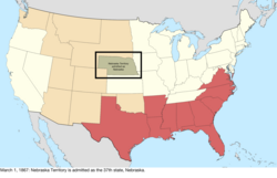
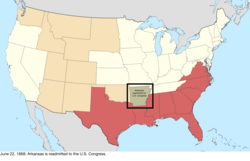
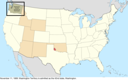
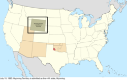
1866–1897 (Reconstruction and western statehood)
Summarize
Perspective
Remove ads
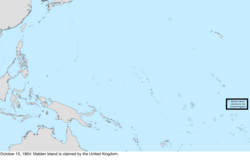
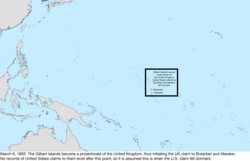
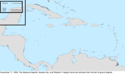
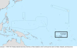
1898–1945 (Pacific and Caribbean expansion)
Summarize
Perspective
Remove ads
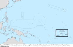
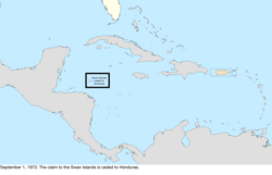
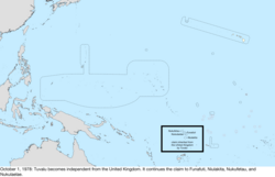
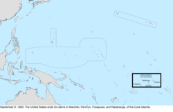
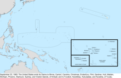
1946–present (Decolonization)
Summarize
Perspective
Remove ads
Bancos along the Rio Grande

The Banco Convention of 1905 between the United States and Mexico allowed, in the event of sudden changes in the course of the Rio Grande (as by flooding), for the border to be altered to follow the new course.[459] The sudden changes often created bancos (land surrounded by bends in the river that became segregated from either country by a cutoff, often due to rapid accretion or avulsion of the alluvial channel), especially in the Lower Rio Grande Valley. When these bancos are created, the International Boundary and Water Commission investigates if land previously belonging to the United States or Mexico is to be considered on the other side of the border.[460] In all cases of these adjustments along the Rio Grande under the 1905 convention, which occurred on 37 different dates from 1910 to 1976, the transferred land was minuscule (ranging from one to 646 acres) and uninhabited.[461][462][463]
Remove ads
See also
Wikimedia Commons has media related to Maps of the territorial evolution of the United States.
- Geography of the United States
- Territories of the United States
- Historic regions of the United States
- American frontier
- List of U.S. state partition proposals
- List of U.S. states by date of admission to the Union
- Movements for the annexation of Canada to the United States
- Manifest Destiny
- National Atlas of the United States
- Ostend Manifesto (annexation of Cuba)
- List of territorial claims and designations in Colorado
- Territorial evolution of Arizona
- Territorial evolution of California
- Territorial evolution of Idaho
- Territorial evolution of Montana
- Territorial evolution of Nevada
- Territorial evolution of New Mexico
- Territorial evolution of North Dakota
- Territorial evolution of Oregon
- Territorial evolution of South Dakota
- Territorial evolution of Utah
- Territorial evolution of Washington
- Territorial evolution of Wyoming
- Territories of the United States on stamps
- List of U.S.–Native American treaties, which indicates tribal land cessions
Notes
- The borders of the country followed the colonial borders; for simplicity, the maps use the borders defined in the 1783 Treaty of Paris. The only substantive difference between the borders before and after the Treaty of Paris is the southwest border: when Great Britain had ownership over West Florida, they had moved its border north, to a line east from the mouth of the Yazoo River, and that area thus did not belong to Georgia; the treaty granted the area between this and 31° north to the United States.
- The New Hampshire towns petitioning to join Vermont were: Apthorp (now Littleton), Bath, Canaan, Cardigan (now Orange), Cornish, Dresden (now part of Hanover), Enfield, Franconia, Gunthwaite (now Lisbon), Haverhill, Landaff, Lebanon, Lyman, Lyme, Orford, and Piermont.[35] The specific extent of the towns annexed is unknown, as township borders were often delineated only when a dispute arose; the map uses the common interpretation.
- The New Hampshire towns petitioning to join Vermont were: Acworth, Alstead, Bath, Cardigan (now Orange), Charlestown, Chesterfield, Claremont, Cornish, Croydon, Dorchester, Dresden, Franconia, "Gilsom" (likely Gilsum), Grafton, Grantham, Gunthwaite (now Lisbon), Hanover, Haverhill, Hinsdale, Landaff, Lancaster, Lebanon, "Leinster" (possibly Lempster), Lincoln, Lyman, Lyme, Marlow, Newport, Piermont, Plainfield, Richmond, Saville (now Sunapee), Surry, Walpole, and Westmoreland.[43] The specific extent of the towns annexed is unknown, as township borders were often delineated only when a dispute arose; the map uses the common interpretation.
- The New York towns petitioning to join Vermont were: "Black-Creek" (unknown; possibly is or is near Hebron), Cambridge, Fort Edward, Granville, "Greenfield" (unknown; there is a town named Greenfield but it lies west of the Hudson River, which was explicitly the western extent of the West Union), Hoosick, Kingsbury, "Little Hoosack" (unknown; presumably near Hoosick), Saratoga, "Scorticook" (possibly Schaghticoke), Skeensborough (now Whitehall), and "Upper-White-Creek" (probably White Creek).[44] The specific extent of the towns annexed is unknown, as township borders were often delineated only when a dispute arose; the map uses the common interpretation.
- The treaty established the boundaries of the new country, from the Bay of Fundy: up the "St. Croix River" (which river this referred to was disputed) to its source; north to the height of the land (the "Northwest Angle of Nova Scotia"); along the height of the land to the "northwesternmost Head" of the Connecticut River (which source this referred to was disputed); down that to 45° north; west to the St. Lawrence River; up that to the Great Lakes, through Lake Ontario, the Niagara River, Lake Erie, the Detroit River, Lake St. Clair, the St. Clair River, Lake Huron, and Lake Superior; to "Long Lake" (which lake this referred to was disputed) towards the Lake of the Woods; to the northwest angle of the Lake of the Woods; then west to the Mississippi River. However, the Lake of the Woods was north of the source of the Mississippi River; maps universally show this undefined border as a straight line, nearly straight south, between the two points. From there, it followed the Mississippi River down to 31° north; east to the Chattahoochee River; down that to the confluence of the Chattahoochee and Flint rivers; a line from there to the source of the St. Mary's River; then down that to the Atlantic Ocean.[53]
- There is disagreement over if the state was named Franklin or Frankland; sources tend to refer to Franklin as the specific state, and Frankland as the region.[55]
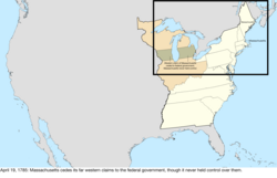
- Massachusetts's ceded claim was a strip of land west of New York and Pennsylvania stretching to the Mississippi River, bounded by the latitudes of Massachusetts Bay Colony's original charter: on the north by a line west from one league north of Lake Winnipesaukee, and on the south by a line west from Massachusetts' southwest corner.[47]
- Connecticut's ceded claim was a strip of land west of 120 miles west of Pennsylvania (the western border of its Western Reserve) stretching to the Mississippi River, bounded by 41° north and the southern edge of Massachusetts's western claim, roughly 42°2′ north.[47]
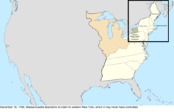
- Massachusetts's ceded claim was the portion of New York 82 miles west of where the Delaware River left New York, to an unclear western boundary, with one source saying it was as far as one mile east of the Niagara River.[47]
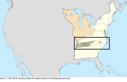
- The new North Carolina–federal border was, from the north, southwest along various ridges of the Great Smoky Mountains; however, issues caused surveyors to eventually run a line roughly due south rather than continue along the ridge.[19]
- The new New York–Vermont border was, from the north: Lake Champlain, the Poultney River, then south following borders of townships.[32]
- The new Kentucky–Virginia border was, from the south: north along the Cumberland Mountains and Pine Mountain to the Russell Fork; northeast to the Tug Fork; then down that to the Big Sandy River and to the Ohio River.[88]
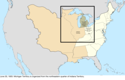
- The new Indiana Territory–Northwest Territory border was, from the south, a line from the mouth of the Kentucky River to Fort Recovery, then north.[101]
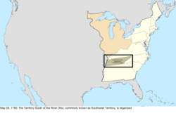
- The new Georgia–federal border was, from the south, up the Chattahoochee River to its great bend (near West Point), then a line from there towards and past Nickajack. The border's description said it would go until it reached the Tennessee River, and follow that up the river to Tennessee, but the river lay entirely within Tennessee.[12]
- There was some question as to whether the purchase also included the basins of the Missouri River and the Red River of the North, but the question was not relevant before the Treaty of 1818 definitively settled the border. Maps universally show the purchase including the Missouri River basin but excluding the Red River basin.[109]
- The western border of West Florida was a series of waterways, mainly the Mississippi, Iberville, and Amite Rivers, and Lakes Pontchartrain and Maurepas.[110]
- The new Illinois Territory–Indiana Territory border was, from the south, the Wabash River up to Post Vincennes, then north.[117]
- Indiana was defined as the territory north of the Ohio River and east of the Wabash River, but while the territory's line turned north at Post Vincennes, the state's border continued up the Wabash until it reached the point where a line drawn north from Post Vincennes would last intersect the river as it weaved back and forth. The northern border of the state was a line east from 10 miles north of the southern tip of Lake Michigan, until it reached the meridian that formed Ohio's western border, which was a line drawn north from the mouth of the Great Miami River.[101]
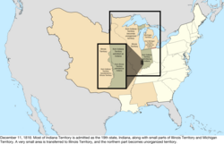
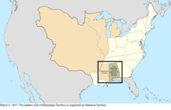
- The new Alabama Territory–Mississippi Territory border was, from the north: up the Tennessee River to Bear Creek (around today's Pickwick Lake); a line to the northwestern corner of Washington County, Mississippi Territory; then south.[132]
- The new Arkansaw Territory–Missouri Territory border was, from where the Mississippi River meets 36° north: west to the St. Francis River, up that to 36°30′ north, then west.[125]
- The new border was, from the Gulf of Mexico: up the Sabine River to 32° north; north to the Red River; up that to 100° west; north to the Arkansas River; up that to its source; north to 42° north; then west to the Pacific Ocean.[110]
- The new Missouri–federal border was, from the mouth of the Des Moines River: up the river to a point west of the Des Moines Rapids on the Mississippi River, west to a point north of the mouth of the Kansas River, then south.[125]
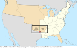
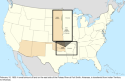
- The new Arkansas Territory–federal border, from the north, a line from the southwestern corner of Missouri to a point on the Arkansas River "100 paces east" of Fort Smith, as the border of the lands of the Eastern Choctaw, then south.[141] However, the Arkansas Supreme Court determined in 1909 that the "100 paces east" was a clerical error, and that logically it should have said "100 paces west".[154]
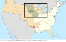
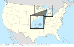
- The new Michigan Territory–Wisconsin Territory border was, from Lake Superior: up the Montreal River to Lac Vieux Desert; a line to the source of the Menominee River; then down that to Green Bay. However, this definition was impossible: The Montreal River ended long before it reached Lac Vieux Desert. The issue would be resolved in 1850.[115]
- The new northeastern border was, from Passamaquoddy Bay: up the St. Croix River to its source; north to the St. John River; up that to the St. Francis River; up that to its source outlet at Lake Pohenegamook; southwest to the northwest branch of the St. John River; a line from there to where the St. John River crosses 46°25' north; up the river to its source; along the highlands to the source of Halls Stream, then down that to 45° north.[144][15]
- The new northern border was, from Lake Superior: up the Pigeon River to the many lakes and rivers of the Boundary Waters, eventually reaching the Rainy River; then down that to the Lake of the Woods.[174]
- The new Wisconsin–Wisconsin Territory border was, from Lake Superior: up the St. Louis River to its first rapids; south to the St. Croix River; then down that to the Mississippi River.[162]
- The new international border was, from the Rio Grande: along the southern and western border of New Mexico until it meets the Gila River; down that to the Colorado River; then a line to a point one league south of the port of San Diego. However, the southern border of New Mexico was in question, with the US claim being 31°52′ north, and the Mexican claim being 32°22′ north.[192]
- The new California–federal border was, from the north: south along 120° west to 39° north; a line to where the Colorado River intersects 35° north; then down the Colorado River.[3]
- The new Texas–federal border was, from the south: up the Rio Grande to 32° north; east to 103° west; north to 36°30′ north; then east.[179]
- The new New Mexico Territory–federal border was, from 36°30′ north and 103° west: north to 38° north; then west to the summit of the San Juan Mountains (called then the Sierra Madre).[208]
- The new international border was, starting from where the Rio Grande crosses 31°47′ north: west 100 miles; south to 31°20′ north; west to 111° west; a line to a point on the Colorado River 20 miles below the mouth of the Gila River; then up the Colorado River.[217]
- The new Minnesota–federal border was, from the north: up the Red River to the Bois de Sioux River; up that to Lake Traverse and its southern tip; a line to Big Stone Lake and through that to its southern tip; then south.[174]
- The new Oregon–Washington Territory border was, from the north, up the Snake River to the mouth of the Owyhee River, then south.[195]
- The new Nebraska Territory–Dakota Territory border was, from the east: up the Missouri River to the Niobrara River; up that to the Keya Paha River; up that to 43° north; then west.[215]
- The decree transferred land from the left bank of the Blackstone River to Rhode Island, including what is now East Providence, in exchange land around Fall River being transferred to Massachusetts.[14]
- The Virginia counties that became West Virginia were: Barbour, Boone, Braxton, Brooke, Cabell, Calhoun, Clay, Doddridge, Fayette, Gilmer, Greenbrier, Hampshire, Hancock, Hardy, Harrison, Jackson, Kanawha, Lewis, Logan, McDowell, Marion, Marshall, Mason, Mercer, Monongalia, Monroe, Morgan, Nicholas, Ohio, Pendleton, Pleasants, Pocahontas, Preston, Putnam, Raleigh, Randolph, Ritchie, Roane, Taylor, Tucker, Tyler, Upshur, Wayne, Webster, Wetzel, Wirt, Wood, and Wyoming.[264]
- The new Idaho Territory–Montana Territory border was, from the north: south along 39° west from Washington to the crest of the Bitterroot Range and the Rocky Mountains; then along that to the new tripoint with Dakota Territory.[268]
- The new Dakota Territory–Idaho Territory border was, from the south: north along 33° west from Washington to the crest of the Rocky Mountains, then northwest along that to the new tripoint with Montana Territory.[239]
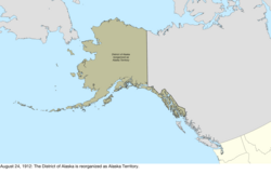
- The borders of the Department of Alaska were, from the Dixon Entrance: Up the Portland Channel to 56° north; then along the "summit of the mountains situated parallel to the coast" (the definition of which was disputed) to 141° west; then north.[279]
- The new Oklahoma Territory–federal border was, from where the Red River meets 98° west: north to the Canadian River; down that to Seminole land; north along that border to the North Canadian River; down that to Creek land; north and east along that border to 96° west; then north. This omits the Cherokee Outlet, whose complex borders separated the main portion of Oklahoma Territory from the former Public Land Strip.[312]
References
Further reading
Wikiwand - on
Seamless Wikipedia browsing. On steroids.
Remove ads

